Satellite thermal control system design tutorial
February 1, 2025
how to process OPTISat Data for agricultural analysis
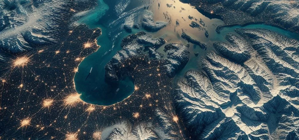
February 3, 2025Looking at Earth from space has dramatically changed how we understand our planet. The data we get is incredibly useful for all sorts of things, like tracking environmental changes, responding to disasters, planning cities, and managing farms. A big part of this is thanks to high-resolution satellites, which give us amazingly detailed and clear pictures of the Earth’s surface. This essay will explore what makes a high-resolution earth observation and satellite “best,” the compromises involved, some of the top satellites currently in use, and what the future holds for this important technology.
Defining “Best” for satellite for high-resolution earth observation
What makes a satellite “best” for high-resolution Earth observation really depends on what it’s being used for. Several things affect how well a satellite performs: Spatial Resolution is about how small the details are that you can see – sharper images mean you can spot smaller things. But, higher resolution often means covering less ground and more data to handle. Spectral Resolution is about how many different colors of light the satellite can see. More colors mean you can analyze materials better, like figuring out plant health or mapping minerals. Temporal Resolution is how often the satellite passes over the same spot. More frequent visits are important for tracking things that change quickly, like weather or melting ice, but often need multiple satellites. Radiometric Resolution is about how sensitive the satellite is to different amounts of light. This affects how accurate the measurements are. Coverage is how much area the satellite can image at once. A wider view means faster mapping. Data Quality covers things like image clarity and accuracy. Finally, Cost and Accessibility matter, especially for researchers and smaller groups.
Navigating the Trade-offs
It’s important to remember that these different features are connected, and improving one often means sacrificing another. For example, super-sharp images (high spatial resolution) usually mean a narrower view, so you cover less ground. Similarly, seeing more colors (high spectral resolution) can mean less light reaches the sensors, which can affect how accurate the measurements are. So, the “best” satellite is usually a balance of these features, depending on what it’s being used for.
Current Leading Platforms for High-Resolution Earth Observation
Lots of companies and governments have their own high-resolution Earth observation satellites, and each one has its own good and bad points. For example, the WorldView satellites (made by Maxar) are famous for their super-sharp images, where you can see things smaller than a meter across. They also see lots of colors and are very sensitive to light, so they’re useful for many different purposes.
GeoEye-1 (also from Maxar) is another satellite that takes very sharp pictures and is often used for mapping and spying. The Pleiades satellites (from France) take sharp pictures and can be quickly pointed at different places, making them great for responding to disasters.
Sentinel-2 (from the European Space Agency) doesn’t have quite as high resolution as the commercial ones, but it still takes good pictures, covers a wide area, and visits the same places often, making it perfect for watching the environment and farming. Plus, its data is free! China’s Gaofen satellites also take high-resolution pictures in many colors and are used for things like surveying land and tracking disasters.
The Future of High-Resolution Earth Observation
High-resolution Earth observation is always getting better, thanks to new technology and a growing need for information about our planet. Here are some of the big changes we’ll likely see:
Sharper Images: We already have satellites that can see tiny details, but future ones will be even better.
More Colors: Newer sensors will see even more colors of light, giving us more information about what things are made of and how they work. Hyperspectral imaging, which sees hundreds of colors, is becoming really important.
More Frequent Visits: Lots of small satellites working together will mean we can watch things change almost in real time. These groups of satellites will be cheaper than the old, big ones.
Combining Data: Soon, satellite pictures will be combined with other information, like aerial photos, data from sensors on the ground, and even social media posts, to give us a much better understanding of Earth.
Using AI: Artificial intelligence and machine learning will help us analyze all this data much faster and more efficiently, automatically picking out important features and spotting changes.
Easier Access: Cloud computing will make it much easier for everyone to get and use satellite data, storing it, analyzing it, and sharing it.
High-resolution Earth observation satellites are now essential tools for all sorts of uses. Choosing the “best” one depends on carefully weighing things like image sharpness, the colors it can see, how often it revisits a spot, its sensitivity to light, how much area it covers, image quality, cost, and how easy it is to get the data. Today’s top satellites are already amazing, but the future is even brighter. Improvements in sensors, groups of satellites, data processing, and artificial intelligence will give us even more detailed, frequent, and useful views of Earth. As we keep exploring our planet from above, these satellites will be key to shaping our future.


